Success Stories
In-depth insights from our successful projects and the measurable impact we've delivered for our clients
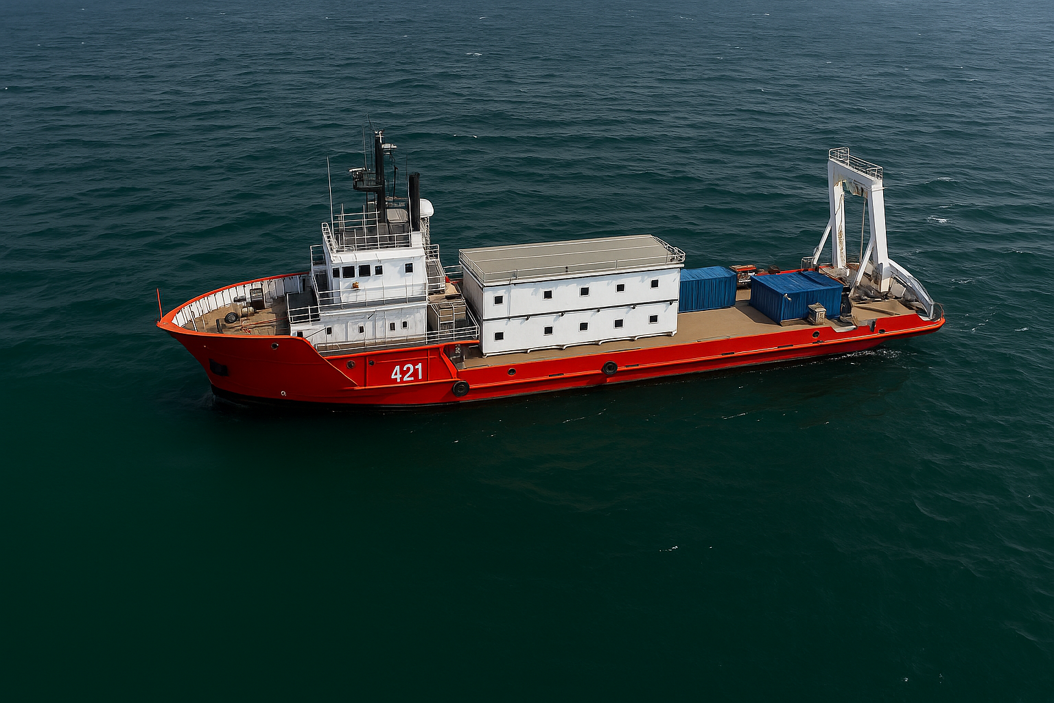
Precision Positioning & Metrology
Millimeter-accurate jacket positioning using robotic total stations and high-precision leveling to ensure perfect fit-up between new and existing structures. Our exacting survey methodology delivered flawless integration under extreme operational pressure.
Geophysical Pipeline Survey
Millimeter Precision Under Pressure: Ensuring Flawless Structural Integration in Live Offshore Environment
1. Challenge
A critical energy mega-project required the installation of a Riser Tower Platform Jacket with an unprecedented level of positioning accuracy. The challenge was twofold: achieving millimeter-level precision for the jacket placement to ensure perfect fit-up with existing platform connections, while working in close proximity to live assets under tremendous schedule pressure. The structural integration demanded tolerances tighter than industry standards, with any deviation risking misalignment, rework, or impact on ongoing production operations. The margin for error was virtually nonexistent.
Subsea Service
2. Our Approach & Solution
The Geosoft Subsea Survey division deployed a multi-technology terrestrial positioning system specifically engineered for millimeter-accurate metrology in complex offshore environments.
- Robotic Total Station Network: We established a network of high-precision robotic total stations positioned on stable reference points, providing continuous 3D coordinate tracking with ±2mm accuracy throughout the installation process.
- High-Precision Leveling System: Integrated digital precision leveling equipment to monitor vertical alignment and settlement in real-time, ensuring perfect elevation control during the jacket lowering sequence.
- GNSS Positioning Integration: Supplemented with GNSS systems for overall spatial reference, while relying on terrestrial systems for the critical final positioning where satellite-based methods lack sufficient precision.
- Qualified Resource Deployment: Assigned our most experienced positioning specialists with extensive background in installation surveys and complex interface management, capable of maintaining focus and accuracy under extreme operational pressure.
- Real-Time Reporting: Implemented a streamlined reporting protocol delivering spot-on verification data to the installation team within minutes of each critical positioning milestone.
3. Technologies & Methodologies
| Category | Tool / Technology | Purpose |
|---|---|---|
| Precision Positioning | Robotic Total Stations (Leica TS60) | Millimeter-accurate 3D coordinate tracking |
| Leveling Systems | Digital Precision Levels (Trimble DiNi) | Sub-millimeter vertical alignment monitoring |
| GNSS Positioning | Multi-frequency GNSS Receivers | Overall spatial reference and positioning |
| Data Integration | Survey Controller Software | Real-time data processing and visualization |
| Communication | Secure Wireless Networks | Instant data sharing between survey and installation teams |
| Quality Assurance | Redundant Measurement Systems | Continuous accuracy verification and validation |
4. Results & Impact
- Perfect Fit-Up: Achieved ±2mm final positioning accuracy, ensuring flawless structural connection between the new jacket and existing platform without any rework or adjustment.
- Schedule Adherence: Completed all positioning activities within the aggressive timeline despite extreme pressure, enabling downstream activities to proceed without delay.
- Safety Excellence: Maintained zero safety incidents while working in close proximity to live assets, demonstrating that precision and safety can coexist under challenging conditions.
- Operational Continuity: Executed the entire positioning operation without disrupting ongoing production from adjacent facilities, preserving critical revenue streams.
- Industry Benchmark: Set a new standard for precision installation surveys, proving that millimeter-level accuracy is achievable in complex offshore environments.
Conclusion
This project represents the pinnacle of GeoSoft's exacting approach to precision positioning. By combining advanced terrestrial surveying technologies with highly qualified personnel and rigorous procedures, we delivered millimeter-level accuracy where others would have accepted centimeters. The successful fit-up between new and existing structures under such demanding conditions demonstrates that when the mission requires absolute precision, GeoSoft has the technical capability, experienced personnel, and calm professionalism to deliver—regardless of pressure. This is precision engineering that protects project integrity, ensures operational safety, and delivers value through flawless execution.
Trusted by Industry Leaders
We partner with offshore operators and pipeline companies to deliver precision survey solutions.

Offshore Operations
Major offshore oil and gas operators trust our survey technology for critical infrastructure projects.

Pipeline Companies
Leading pipeline infrastructure companies rely on our precision mapping and underground utility services.

Engineering Firms
Engineering consultancies partner with us for accurate survey data and 3D modeling services.
Impact

Timeline
Comprehensive survey results delivered in six weeks.

Deliverables
Topographical drawings, digital terrain models, contour maps, longitudinal profiles, 2D & 3D underground utility maps.

Safety
Avoided potential hazards and optimized pipeline route.

Cost-Efficiency
Achieved significant cost savings and reduced construction time.

Technology
Utilized advanced tools like LiDAR and GPR.

Efficiency
Enhanced data collection and analysis processes.
Let GeoSoft help you shape the future of your industry
Our advanced digital twin solutions redefine asset management, enhancing efficiency and collaboration.