Success Stories
In-depth insights from our successful projects and the measurable impact we've delivered for our clients
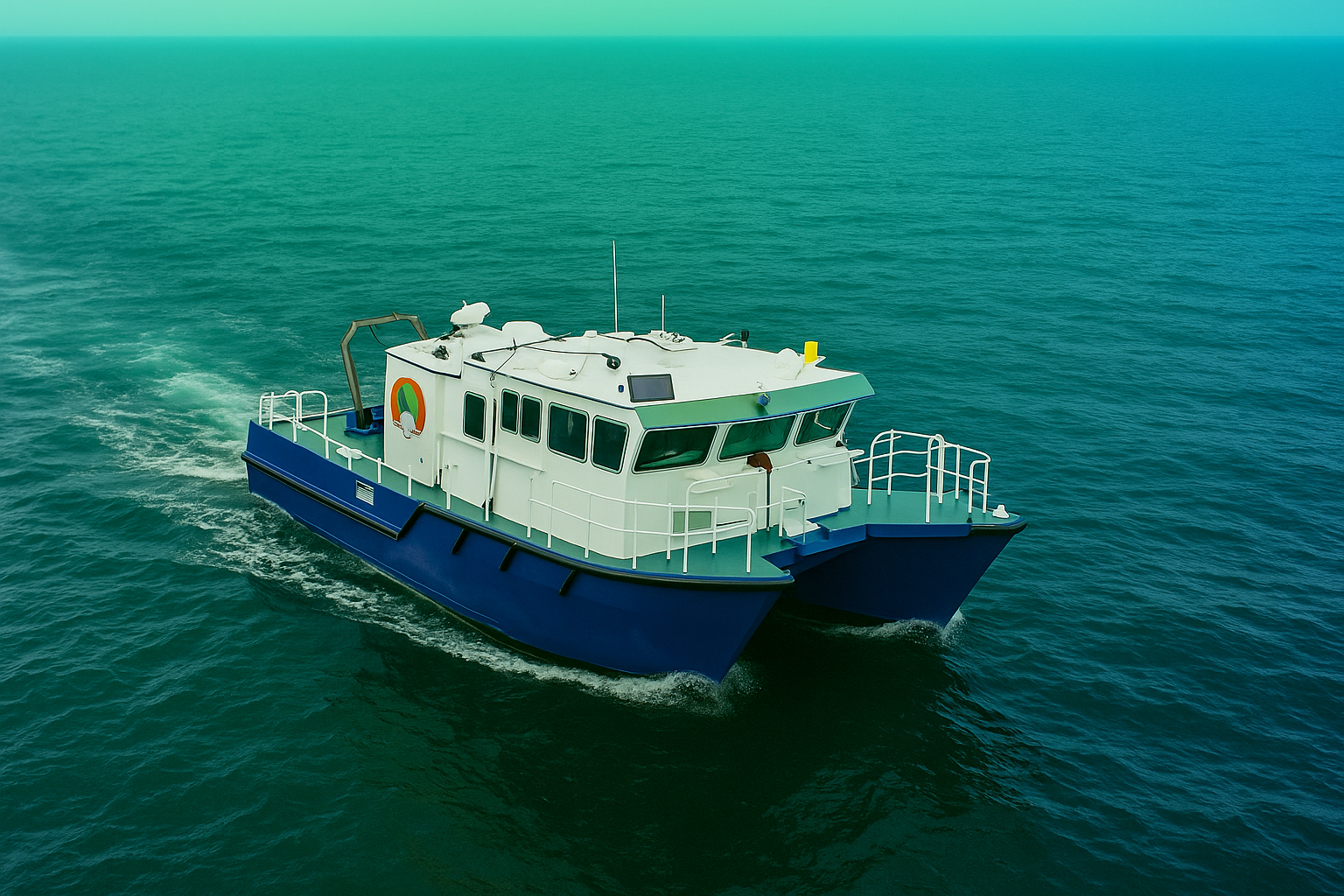
Subsea Geophysical Services
Advanced nearshore pipeline mapping using integrated geophysical technologies to determine precise burial status and mitigate environmental risks. Our comprehensive survey delivers the critical data needed for pipeline integrity management and regulatory compliance.
Geophysical Pipeline Survey
Precision Mapping of Critical Crude Oil Pipelines in Sensitive Nearshore Environment
1. Challenge
A leading National Oil Company managing an extensive product network of over 3,957 km of pipelines required precise determination of the burial status for two critical crude oil pipelines—48" and 36" diameters—within a sensitive nearshore environment. The challenge involved conducting a comprehensive geophysical survey within a 200-meter wide corridor where traditional survey methods risked inadequate data resolution. Accurate depth of burial, identification of potential exposures, and mapping of seabed features were essential for ensuring pipeline integrity, preventing environmental damage, and maintaining regulatory compliance in an ecologically sensitive area.
Pipeline Mapping
2. Our Approach & Solution
The Geosoft Subsea Survey division deployed an integrated geophysical approach specifically designed for high-resolution nearshore pipeline assessment, balancing data quality with environmental protection.
- Multi-Sensor Survey Platform: We utilized a specialized survey vessel equipped with dual-head multibeam echosounder, side-scan sonar, and sub-bottom profiler to simultaneously collect bathymetric, seabed imagery, and subsurface data.
- Precise Positioning & Navigation: Implemented high-precision DGPS with RTK corrections and underwater acoustic positioning to ensure all data was accurately georeferenced within the defined 200-meter corridor.
- Environmental Safeguards: Conducted the survey with strict environmental protocols, including marine mammal observers and passive acoustic monitoring to minimize impact on the sensitive nearshore ecosystem.
- Integrated Data Analysis: Our geophysicists combined all data streams to create comprehensive deliverables including depth charts, burial status maps, contour plots, and feature identification around the survey area.
3. Technologies & Methodologies
| Category | Tool / Technology | Purpose |
|---|---|---|
| Bathymetric Survey | Dual-head Multibeam Echosounder | High-resolution seabed mapping and pipeline detection |
| Seabed Imaging | Side-scan Sonar System | Pipeline exposure identification, seabed feature mapping |
| Sub-surface Profiling | Sub-bottom Profiler | Pipeline burial depth determination, sediment layer analysis |
| Positioning | DGPS with RTK, Acoustic Positioning | Centimeter-accurate positioning of all detected features |
| Data Processing | QPS Qimera, SonarWiz, GIS Systems | Integrated data analysis and deliverable generation |
| Environmental Monitoring | Marine Mammal Observers, PAM | Environmental protection and regulatory compliance |
4. Results & Impact
- Comprehensive Burial Assessment: Successfully determined the precise burial status of both 48″ and 36″ pipelines along the entire survey corridor, identifying exposed sections requiring immediate attention.
- Regulatory Compliance: Achieved 100% data compliance with client specifications and regulatory requirements, enabling informed decision-making for pipeline maintenance and risk management.
- Environmental Protection: Maintained zero environmental incidents throughout the survey operation, demonstrating that comprehensive data collection can coexist with ecological sensitivity.
- Risk Mitigation: Provided the critical data needed to prioritize intervention activities, potentially preventing pipeline damage, product release, and environmental contamination.
- Operational Efficiency: Completed the survey within the aggressive timeline despite challenging nearshore conditions, enabling the client to proceed with integrity management activities without delay.
Conclusion
This project exemplifies GeoSoft's capability to deliver mission-critical subsea data in environmentally sensitive environments. By combining advanced geophysical survey technologies with rigorous environmental safeguards and precise positioning, we provided the definitive assessment of pipeline burial conditions that the client required for both operational and regulatory purposes. The survey doesn't just represent data collection—it represents risk mitigation, environmental stewardship, and the protection of critical national infrastructure. This is the quiet, exacting work that prevents major incidents and ensures the long-term sustainability of energy transportation networks.
Trusted by Industry Leaders
We partner with offshore operators and pipeline companies to deliver precision survey solutions.

Offshore Operations
Major offshore oil and gas operators trust our survey technology for critical infrastructure projects.

Pipeline Companies
Leading pipeline infrastructure companies rely on our precision mapping and underground utility services.

Engineering Firms
Engineering consultancies partner with us for accurate survey data and 3D modeling services.
Impact

Timeline
Comprehensive survey results delivered in six weeks.

Deliverables
Topographical drawings, digital terrain models, contour maps, longitudinal profiles, 2D & 3D underground utility maps.

Safety
Avoided potential hazards and optimized pipeline route.

Cost-Efficiency
Achieved significant cost savings and reduced construction time.

Technology
Utilized advanced tools like LiDAR and GPR.

Efficiency
Enhanced data collection and analysis processes.
Let GeoSoft help you shape the future of your industry
Our advanced digital twin solutions redefine asset management, enhancing efficiency and collaboration.