- Industrial Operations
- Efficiency Optimization Projects
Transformative Case
Studies
Our solutions have transformed offshore operations for major oil & gas operators, delivering unprecedented safety improvements, cost savings, and operational efficiency.
Aggregate Results Across All Solutions
Our integrated approach delivers compounding benefits across safety, efficiency, and cost optimization for offshore operations.
75%
Safety Improvement
Reduction in personnel exposure to hazardous environments
70%
Time Efficiency
Average reduction in project completion time
$8.2M
Total Cost Savings
Combined savings across all implemented solutions
95%
Accuracy Rate
Average precision across all monitoring and analysis tasks
Success Stories
In-depth insights from our successful projects and the measurable impact we've delivered for our clients
- All Case Studies
- Digital Twin
- Geospatial Services
- Subsea Services
- Engineering Support
Geospatial Services
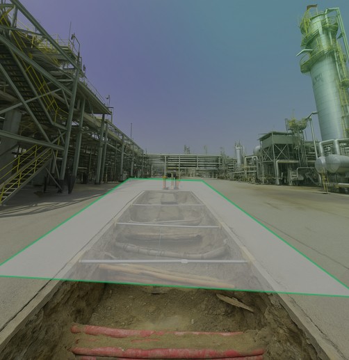
Utility Mapping & Detection
Eliminating subsurface uncertainty with advanced ground penetration radar and electromagnetic detection technologies. Our comprehensive 3D utility mapping provides complete visibility of underground infrastructure
Zero
95%
100%
Engineering Support
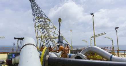
Zero Downtime Equipment Replacement
Transforming offshore plant logistics through advanced SLAM technology and 3D mapping. Our team's rapid route analysis identified Transforming shutdown planning through advanced 3D laser scanning and precision modeling.
2,000+
100%
Zero
Subsea Services
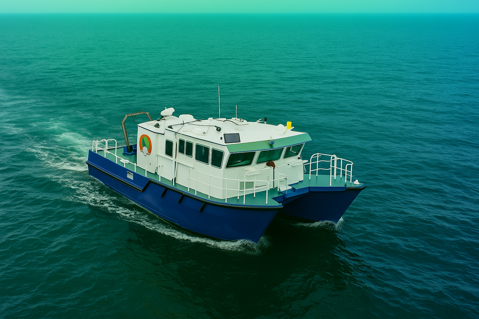
Subsea Geophysical Services
Advanced nearshore pipeline mapping using integrated geophysical technologies to determine precise burial status and mitigate environmental risks. Our comprehensive survey delivers the critical data needed for pipeline integrity management and regulatory compliance.
200m
100%
Zero
Digital Twin
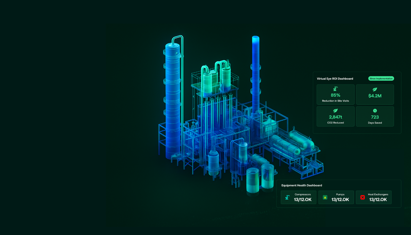
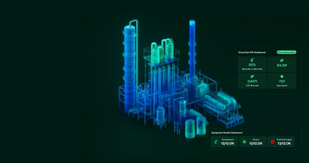
Digital Twin Platform
Experience the future of offshore asset management with our digital twin development services. The Virtual Eye platform eliminates frequent site visits through real-time visual surveillance and AI-powered analytics,
90%
100%
ZERO
Digital Twin
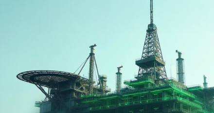
Digital Twin Platform
Experience the future of offshore asset management with our digital twin development services. The Virtual Eye platform eliminates frequent site visits through real-time visual surveillance and AI-powered analytics,
90%
100%
ZERO
Digital Twin
Digital Twin & AI Solutions
Transforming asset management through automated visual recognition and AI-driven data integration. Our computer vision platform eliminates manual tag registration, enabling rapid deployment of operational digital twins with 100% data accuracy.
95%
80%
100%

Geospatial Services
Geospatial Mapping
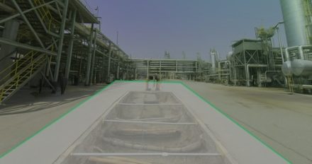
Revolutionizing large-scale topographic mapping with advanced mobile LiDAR technology. Our rapid deployment solution captured 19 million square meters of complex terrain in record time, delivering centimeter-accurate data for critical infrastructure planning.
4 Weeks
80%
100%
Geospatial Services
Utility Mapping & Detection
Eliminating subsurface uncertainty with advanced ground penetration radar and electromagnetic detection technologies. Our comprehensive 3D utility mapping provides complete visibility of underground infrastructure
Zero
95%
100%
Subsea Services
Precision Positioning & Metrology
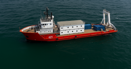
Millimeter-accurate jacket positioning using robotic total stations and high-precision leveling to ensure perfect fit-up between new and existing structures. Our exacting survey methodology delivered flawless integration under extreme operational pressure.
±2mm
100%
Zero
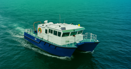
Subsea Services
Subsea Geophysical Services
Advanced nearshore pipeline mapping using integrated geophysical technologies to determine precise burial status and mitigate environmental risks. Our comprehensive survey delivers the critical data needed for pipeline integrity management and regulatory compliance.
200m
100%
Zero
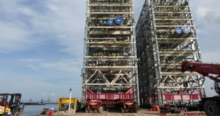
Engineering Support
Logistic Route Optimization Survey
Transforming offshore plant logistics through advanced SLAM technology and 3D mapping. Our team's rapid route analysis identified optimal pathways for heavy equipment transport, reducing planning time from months to weeks.
M-W
100%
Zero
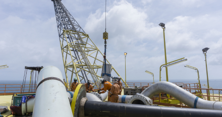
Engineering Support
Zero Downtime Equipment Replacement
Transforming shutdown planning through advanced 3D laser scanning and precision modeling. Our team's engineering innovation approach enabled the replacement of 2,000+ spools with zero dimensional mismatches.
2,000+
100%
Zero
Impact

Timeline
Comprehensive survey results delivered in six weeks.

Deliverables
Topographical drawings, digital terrain models, contour maps, longitudinal profiles, 2D & 3D underground utility maps.

Safety
Avoided potential hazards and optimized pipeline route.

Cost-Efficiency
Achieved significant cost savings and reduced construction time.

Technology
Utilized advanced tools like LiDAR and GPR.

Efficiency
Enhanced data collection and analysis processes.
Let GeoSoft help you shape the future of your industry
Our advanced digital twin solutions redefine asset management, enhancing efficiency and collaboration.