Geotechnical Investigation Services
Navigating complex border regulations and remote logistics to deliver critical foundation design parameters. Our exacting approach in challenging border regions demonstrates global capability grounded in…

Precision Geodetic Monitoring
Millimeter-accurate subsidence monitoring across 35 offshore platforms using advanced GNSS technology and international reference frames. Our exacting survey approach achieved sub-centimeter precision over 100km baselines…

Geospatial Mapping
Revolutionizing large-scale topographic mapping with advanced mobile LiDAR technology. Our rapid deployment solution captured 19 million square meters of complex terrain in record time, delivering…
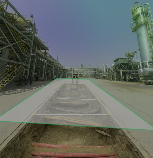
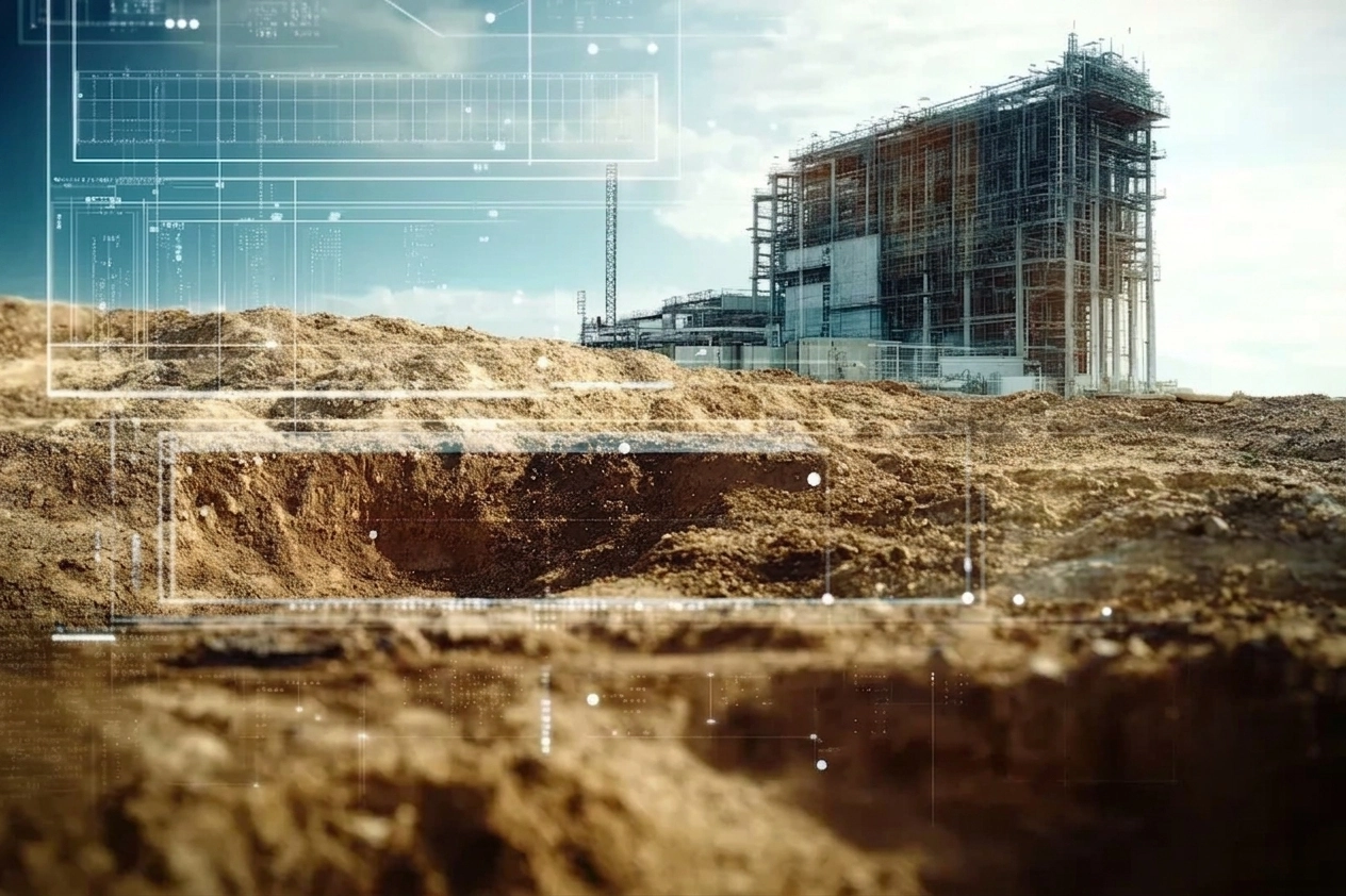
Utility Mapping & Detection
Eliminating subsurface uncertainty with advanced ground penetration radar and electromagnetic detection technologies. Our comprehensive 3D utility mapping provides complete visibility of underground infrastructure