Precision Geodetic Monitoring
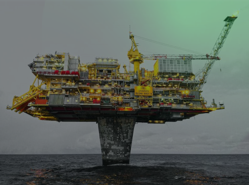
Millimeter-accurate subsidence monitoring across 35 offshore platforms using advanced GNSS technology and international reference frames. Our exacting survey approach achieved…
Get direct access to the experts who have implemented complex technical solutions in challenging offshore, industrial, and infrastructure environments.
Millimeter-accurate subsidence monitoring across 35 offshore platforms using advanced GNSS technology and international reference frames. Our exacting survey approach achieved…

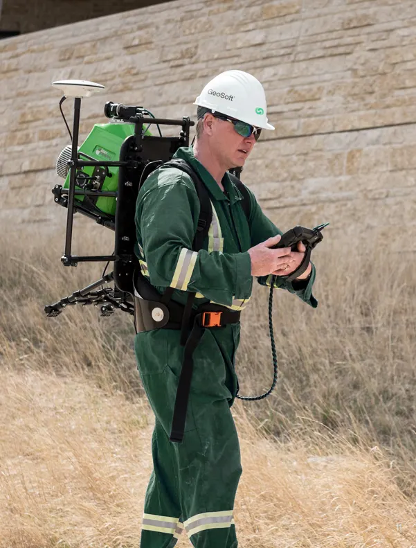
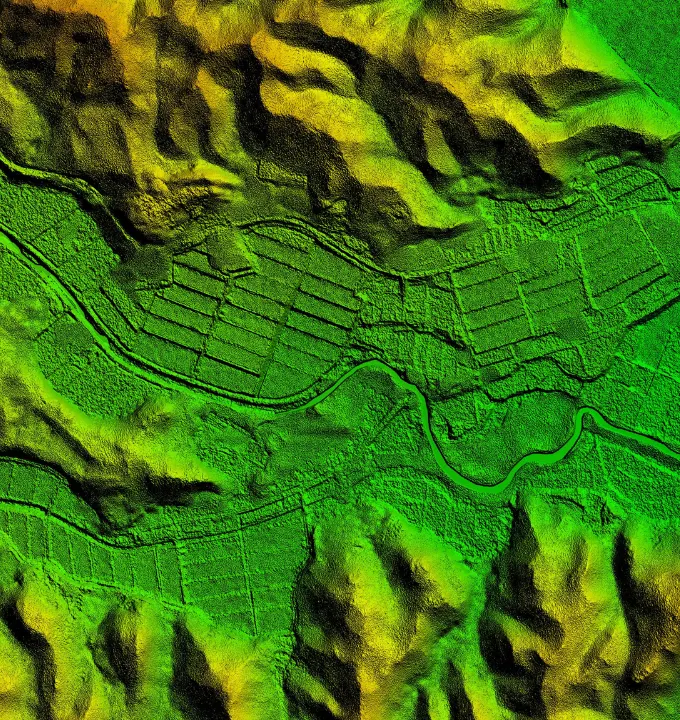
Revolutionizing large-scale topographic mapping with advanced mobile LiDAR technology. Our rapid deployment solution captured 19 million square meters of complex
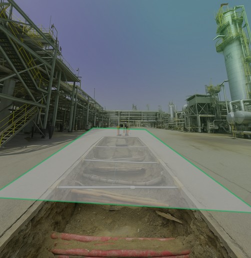
Eliminating subsurface uncertainty with advanced ground penetration radar and electromagnetic detection technologies. Our comprehensive 3D utility mapping provides complete visibility
We deliver high-definition laser scanning and mobile LiDAR survey services with submillimeter accuracy. Our scan-to-BIM solutions create precise digital twins
We provide high-precision utility detection using ground-penetrating radar (GPR) and electromagnetic locators. Our comprehensive above and underground utility mapping ensures
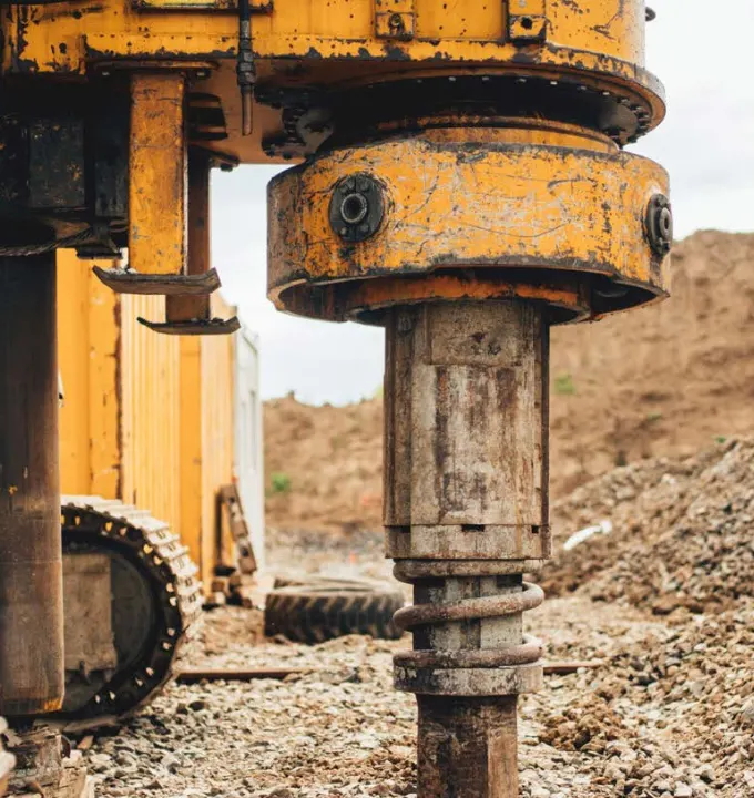
Our geotechnical investigation services deliver critical borehole data collection and geophysical surveys to assess soil stability and subsurface conditions. We
We leverage advanced remote sensing with multispectral and SAR satellite data to deliver comprehensive earth observation solutions. Our satellite imagery
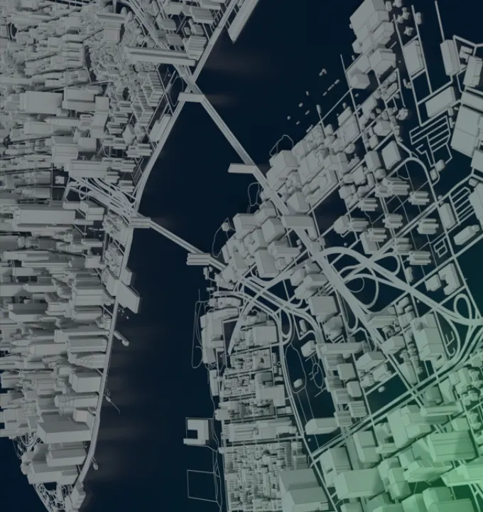
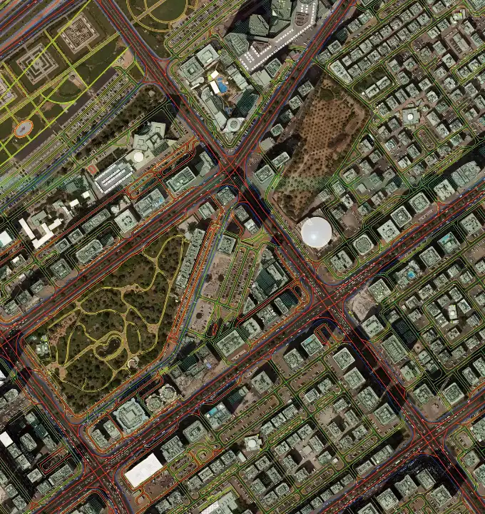
Detailed models for urban planning and development. Create high-fidelity 3D models to support smart cities, transportation networks, and critical infrastructure
We deliver advanced geospatial analytics and GIS data management solutions, developing web-based GIS platforms and spatial databases that enable predictive
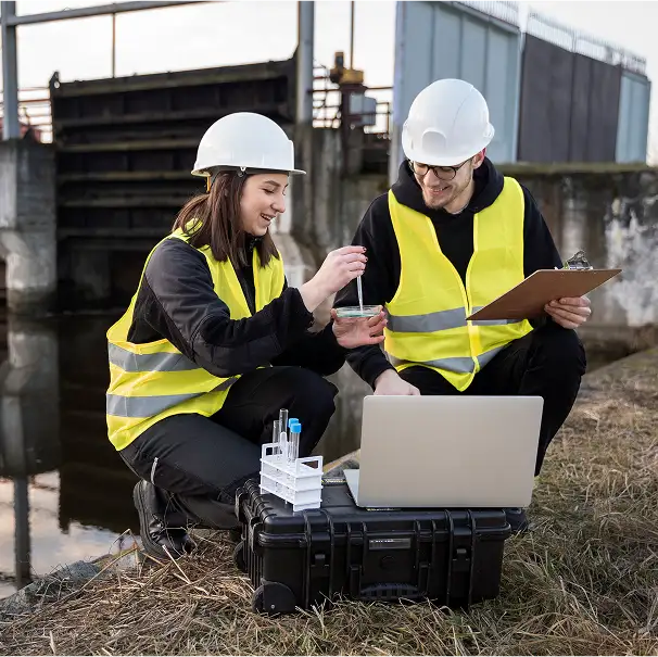
Real-time analytics for sustainability and compliance. Monitor environmental changes with satellite imagery and IoT integration to ensure regulatory adherence and