Subsea Geophysical Services
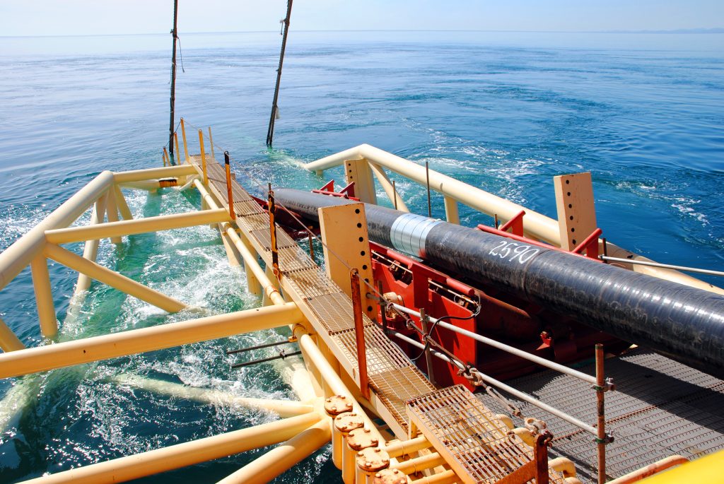
Advanced nearshore pipeline mapping using integrated geophysical technologies to determine precise burial status and mitigate environmental risks. Our comprehensive survey…
Get direct access to the experts who have implemented complex technical solutions in challenging offshore, industrial, and infrastructure environments.
Advanced nearshore pipeline mapping using integrated geophysical technologies to determine precise burial status and mitigate environmental risks. Our comprehensive survey…
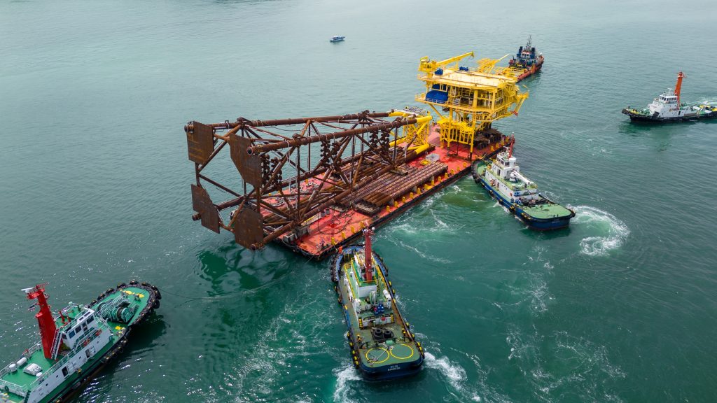
Millimeter-accurate jacket positioning using robotic total stations and high-precision leveling to ensure perfect fit-up between new and existing structures. Our
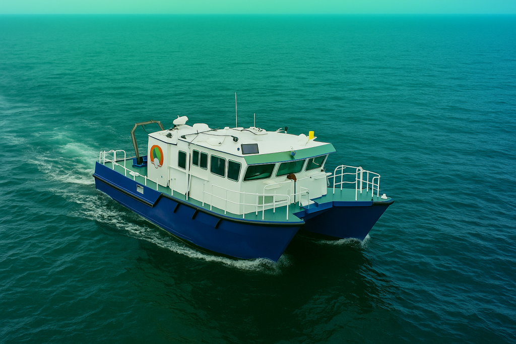
We deliver precise hydrographic surveys meeting the highest international standards, utilizing advanced sonar systems, precision positioning, and tidal correction technologies.
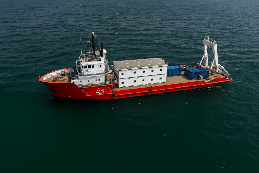
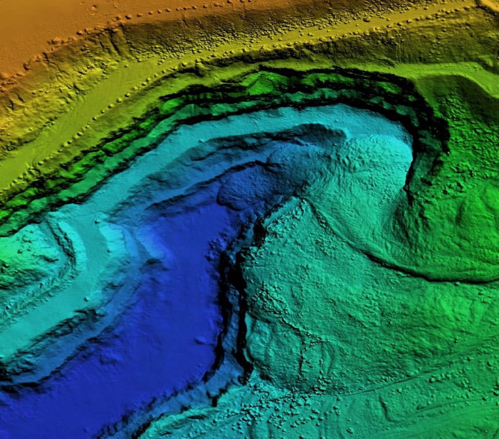
We deploy side-scan sonar, sub-bottom profilers, and marine magnetometers to deliver comprehensive geophysical survey data. Our high-resolution geophysical (HRG) surveys
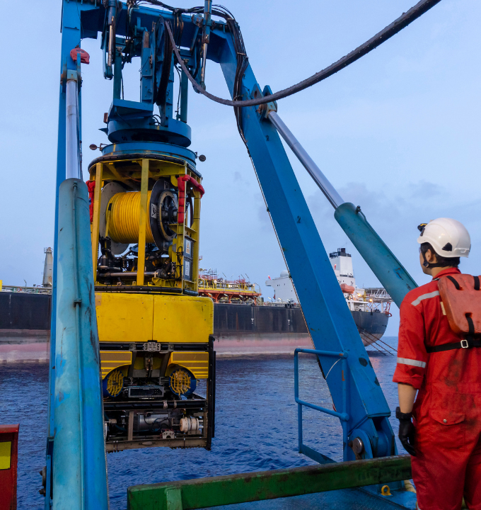
Our IMCA-certified ROV systems conduct deepwater inspections to 2,500 meters, delivering real-time visual and sensor data for subsea pipeline inspection,
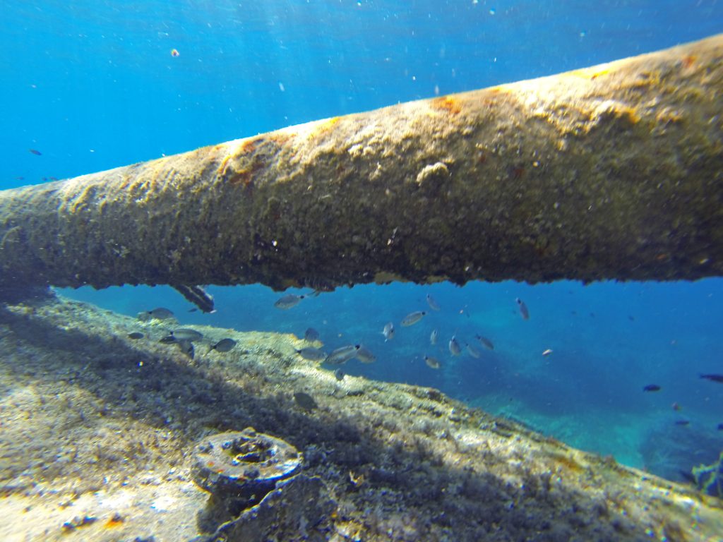
We deploy advanced geophysical tools and specialized sensors for comprehensive pipeline integrity monitoring, detecting corrosion, leaks, and structural deformation in
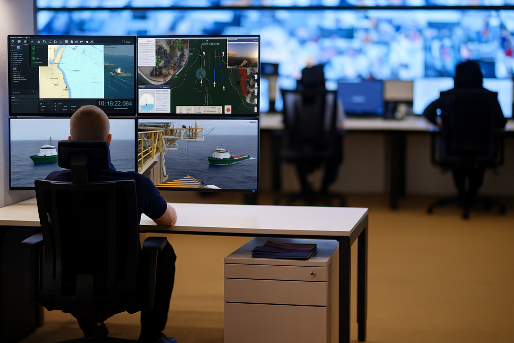
We deliver advanced remote monitoring solutions using IoT sensor networks and real-time data streaming for offshore rigs, survey vessels, and
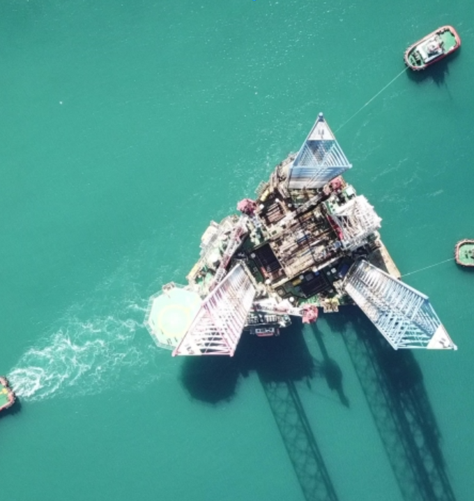
We provide real-time rig positioning and DP support using millimeter-accurate GNSS technology for jack-up rigs, platform installations, and heavy lift
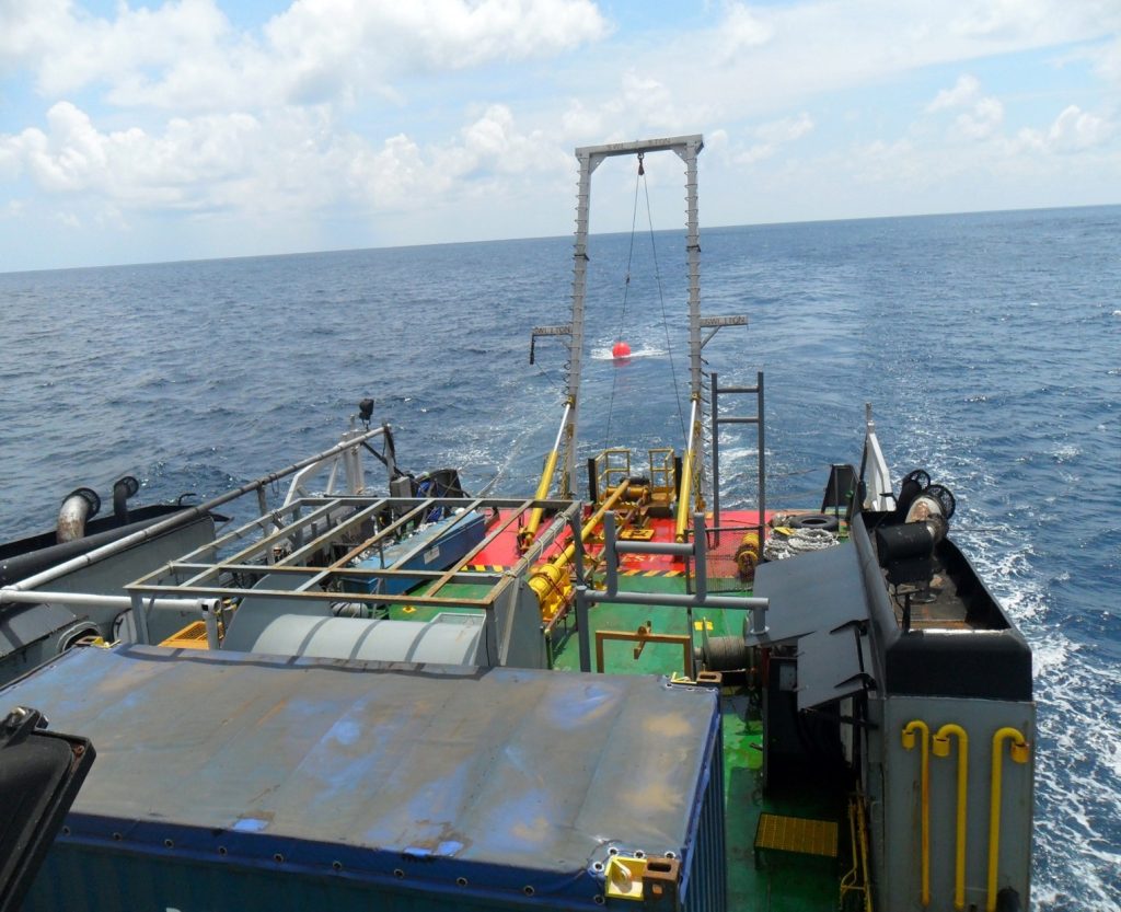
We provide live touchdown monitoring during pipeline and cable lay operations, using ROV-mounted sensors and acoustic positioning to track seabed
We deliver precision subsea metrology using ROV-based laser systems and acoustic positioning for spool piece measurement, manifold alignment, and turbine