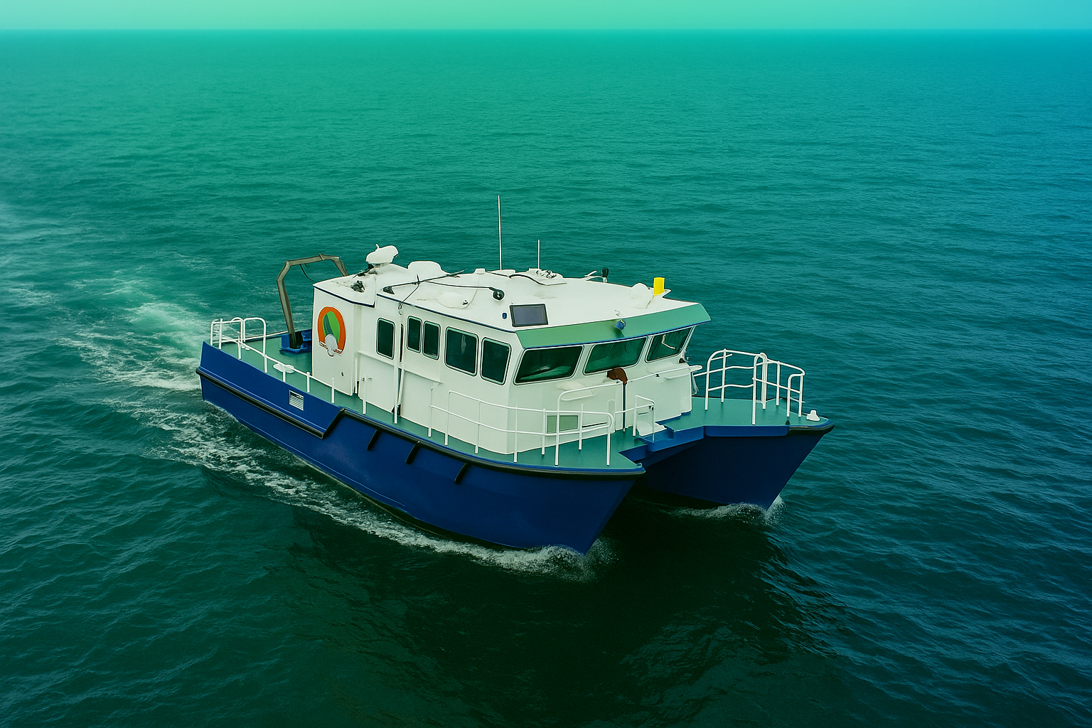
GeoSoft awarded 3-year multi-million dollar North Sea contract providing fully integrated geophysical survey vessel and turnkey services, with initial pre-engineering survey completed successfully.
GeoSoft Secures Major Three-Year North Sea Contract for Integrated Geophysical Survey Services
STAVANGER, NORWAY – GeoSoft announces the award of a significant three-year, multi-million dollar contract for comprehensive geophysical survey services in the North Sea. The contract includes provision of a fully integrated geophysical survey vessel and turnkey services, reinforcing GeoSoft’s position as a leading provider of offshore survey solutions in one of the world’s most challenging marine environments. We have successfully delivered the first phase of this contract, completing initial pre-engineering surveys that earned outstanding client recognition for data accuracy, operational excellence, and safety compliance. The contract encompasses a wide range of specialized services critical to North Sea operations. “This North Sea contract represents a major milestone in our European expansion and demonstrates our capability to deliver complex, integrated survey programs in demanding environments,” said Shailendra Shukla, Division Director, Subsea Survey Servies of GeoSoft. “The successful completion of the initial phase validates our approach to providing end-to-end geophysical solutions with uncompromising quality and safety standards.”
Contract Scope & Services:
- Integrated Geophysical Survey Vessel: Fully equipped vessel with advanced survey systems
- High-Resolution Seabed Mapping: Multibeam echosounder bathymetric survey services
- Pipeline Route Survey: Comprehensive route planning and as-built survey services
- UXO Detection: Magnetometer survey for unexploded ordnance detection
- Subsea Acoustic Survey: Side-scan sonar and sub-bottom profiling
- Platform Metrology: Jacket installation and positioning support
- ROV Pipeline Inspection: Asset integrity and leak detection surveys
North Sea Expertise Highlights:
The contract leverages GeoSoft’s specialized capabilities in harsh environment operations, including dynamic positioning rig support, metocean measurement campaigns, and seabed classification for geohazard assessment. The integrated approach ensures clients receive comprehensive data for offshore wind farm development, carbon capture site characterization, and subsea infrastructure projects. “North Sea operations demand the highest standards of technical expertise and operational excellence,” added the Survey Director. “Our integrated vessel solution and turnkey service approach provide clients with single-point accountability and consistent, high-quality data delivery throughout the three-year contract term.”


