
Oil & Gas (Onshore & Offshore)
We support operators with precise digital workflows across platforms, pipelines, and brownfield plants—reducing offshore rework, enabling faster shutdown planning, and delivering verifiable data for engineering and asset teams.

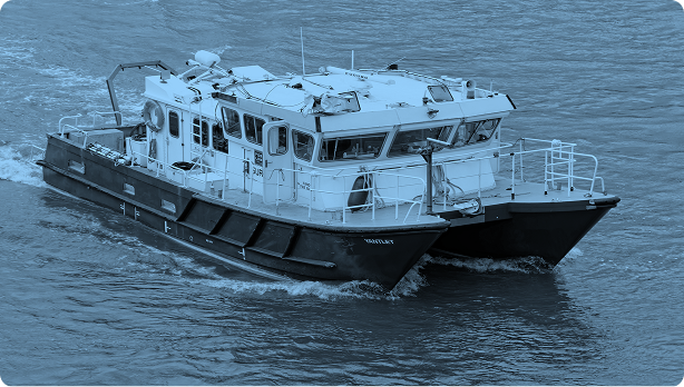
Offshore Wind & Subsea
From seabed surveys to jacket alignment and cable routing, we help renewable and subsea energy teams de-risk installations with high-resolution mapping, accurate bathymetry, and real-time digital twins for marine operations.
Power & Utilities
We digitize power plants, integrate SAP asset data, and enable predictive maintenance through 3D models—boosting operational uptime, safety compliance, and workforce readiness for conventional and renewable energy providers.
Urban Planning & Smart Cities
City-wide mobile mapping, photogrammetry, and 3D GIS integration help planners visualize terrain, utilities, and infrastructure—making approvals faster, designs more coordinated, and long-term development smarter.
Infrastructure & Industrial Facilities
We reduce clashes, delays, and redesigns in complex sites by delivering high-accuracy scans and models—supporting construction, upgrades, and facility expansion with real-world geometry you can build on.
Mining & Geo-Industrial
Our geotechnical and structural surveys support safe excavation, foundation design, and environmental compliance—providing accurate subsurface insight and surface movement monitoring in remote and regulated industrial zones.
Transport & Corridors
Whether for roads, pipelines, or transmission lines, we deliver full-corridor mapping, terrain models, and utility clearance data—streamlining route design, construction, and stakeholder approvals from concept to execution.
Government & Municipalities
We help public agencies modernize planning with settlement analysis, topographic surveys, and spatial models—making projects easier to visualize, defend, and deliver on time and within scope.